
Results
Fundraising for Sanctuary Mountain® Maungatautari
Save the Sanctuary is a special event with funds raised going to the Sanctuary Mountain® Maungatautari.
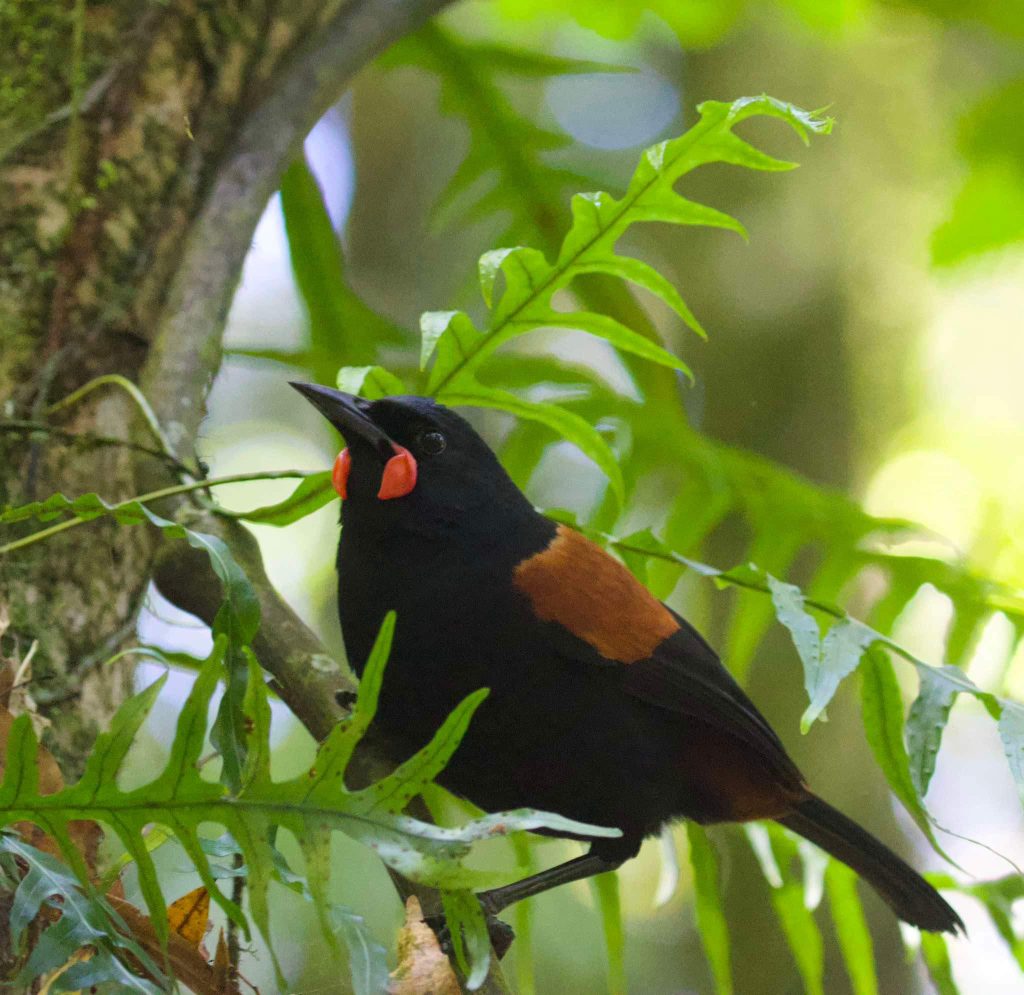
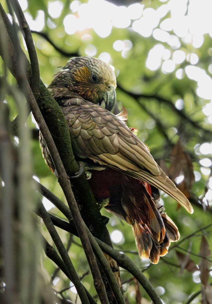
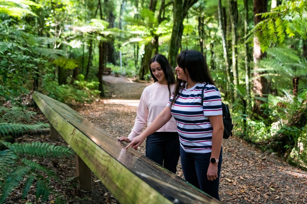
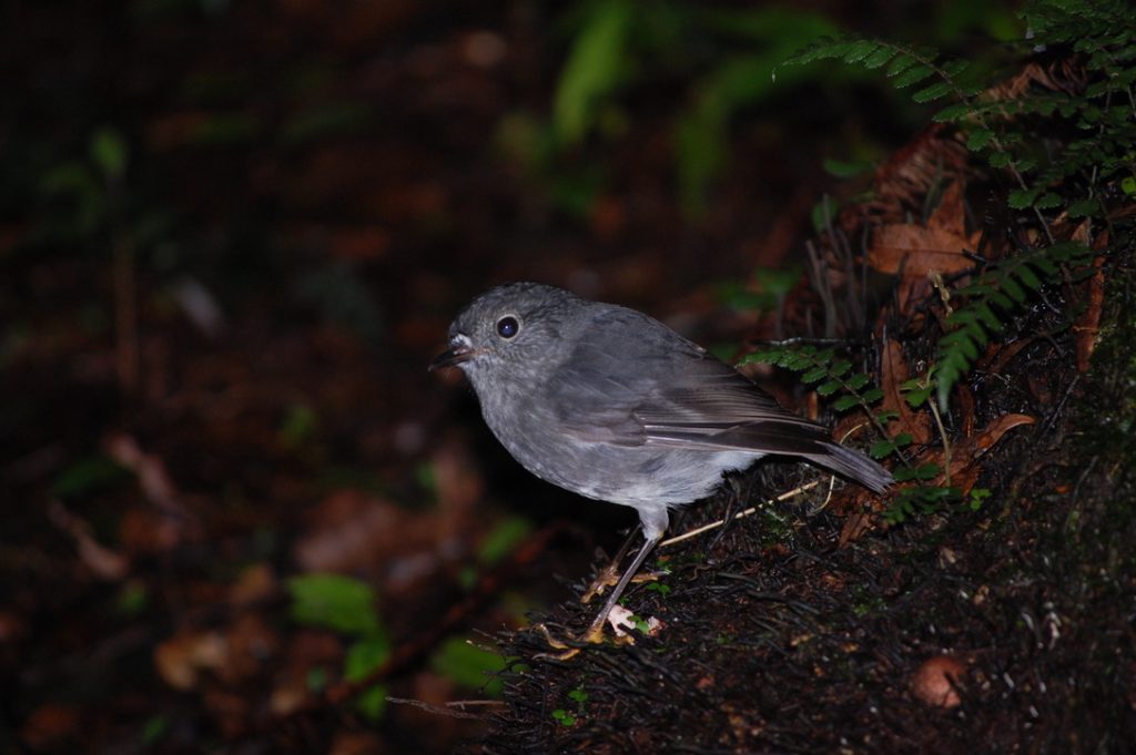
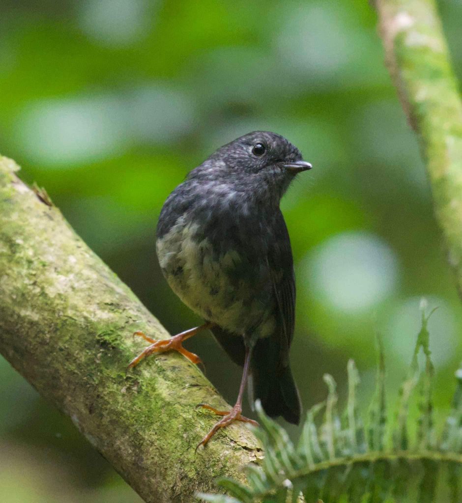
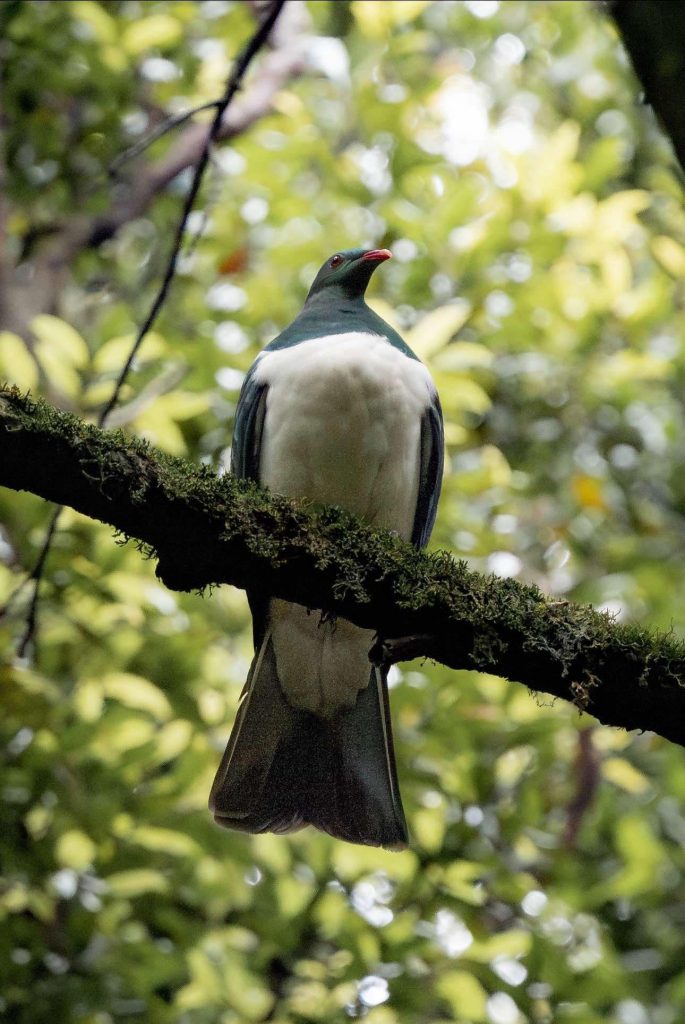
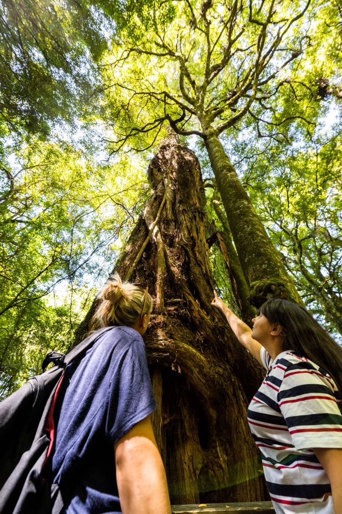
Sanctuary Mountain Maungatautari is New Zealand’s largest pest-proof fenced eco-sanctuary. Its ancient forest is home to many of New Zealand’s unique and endangered wildlife. Kaka, saddleback, robins and whitehead fill the forest with song. Around 2,500 kiwis and half a dozen kakapo also call the mountain home, as well as a growing population of tuatara and a family of takahē.
The sanctuary requires support from the community to continue its important conservation work. We have special permission to use the monitoring lines on the mountain for the event. Club members have been busy in the months leading up to the event checking the monitor lines to make sure they are clearly marked.
| Date | Sunday 2nd March 2025 |
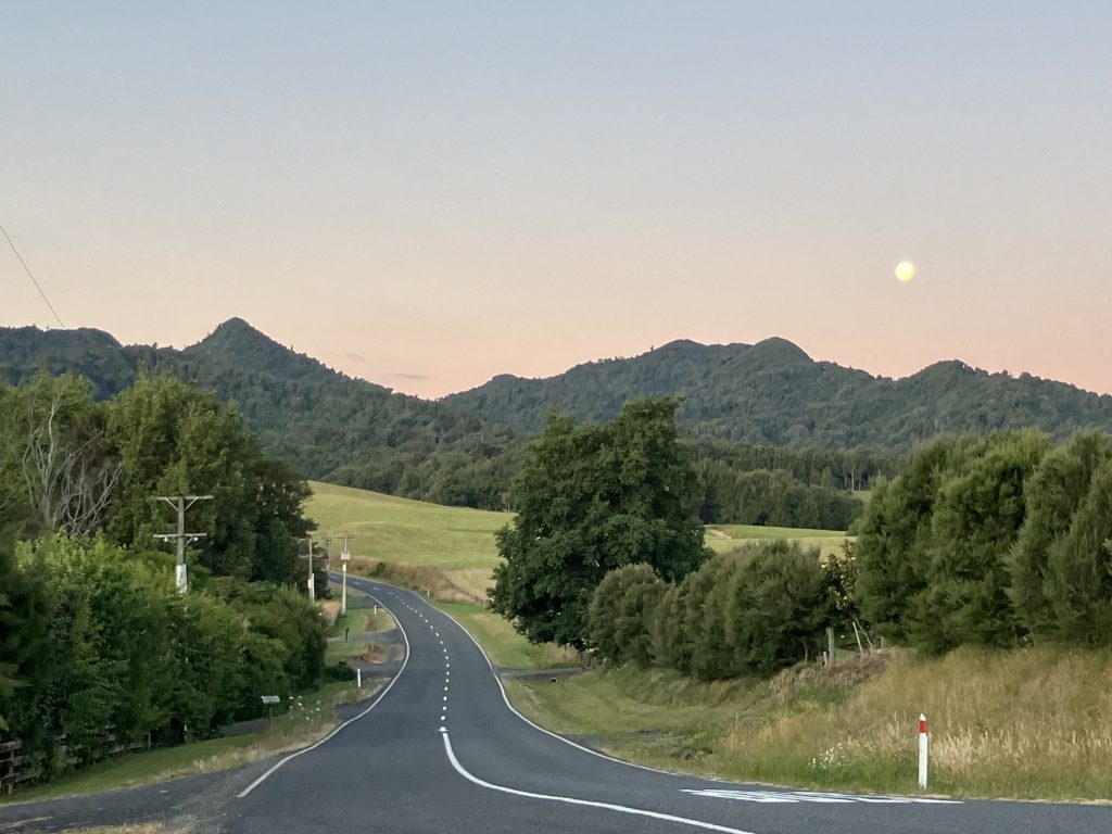
| Location | Maungatautari Southern Enclosure Tari Rd, Pukeatua |
| Course Options | 2, 4 and 8-hour options |
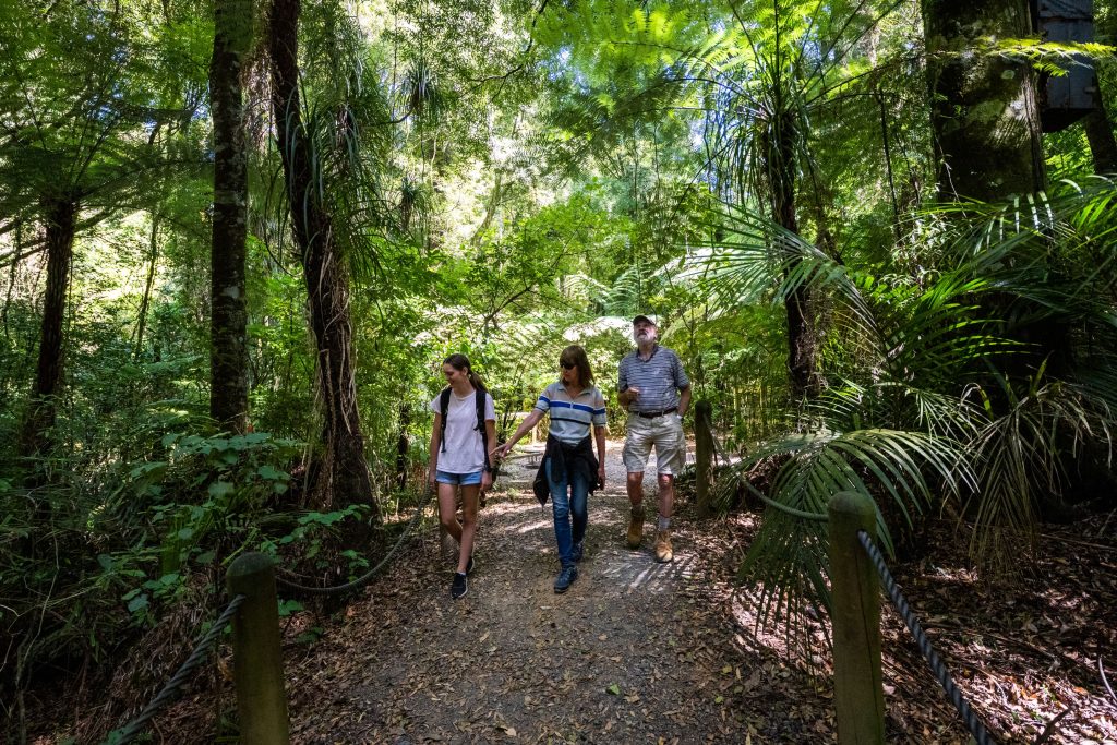
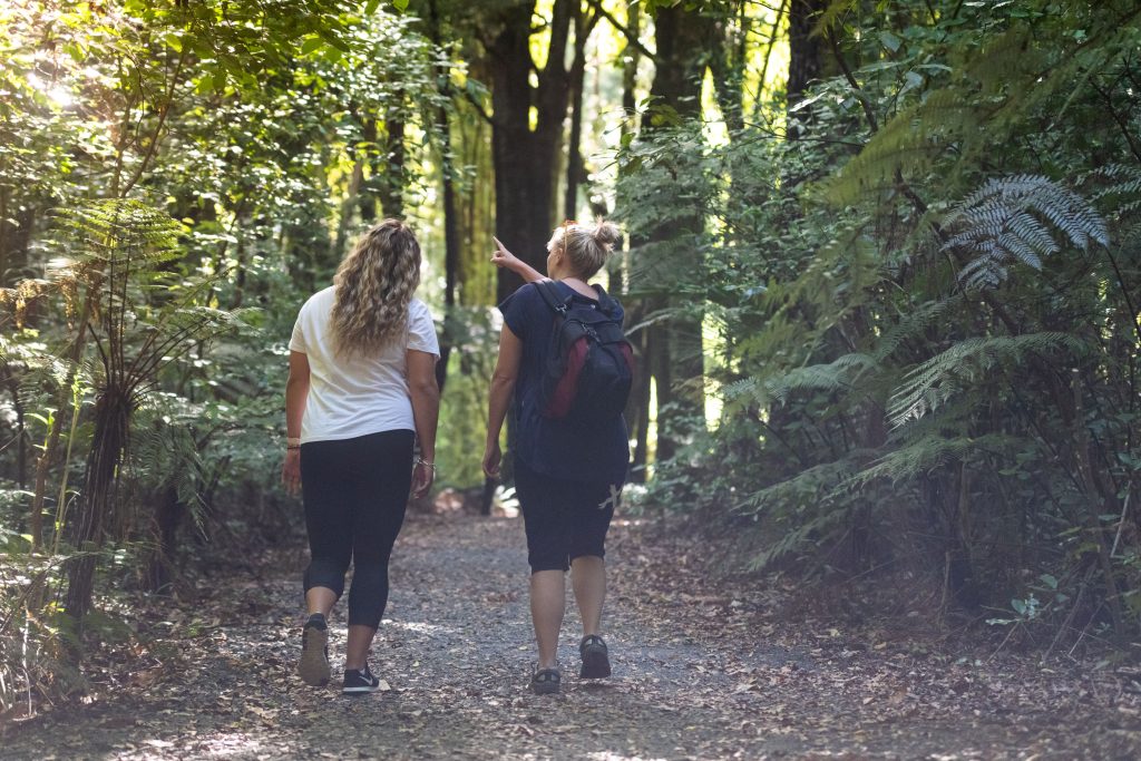

Course Description and Map Information
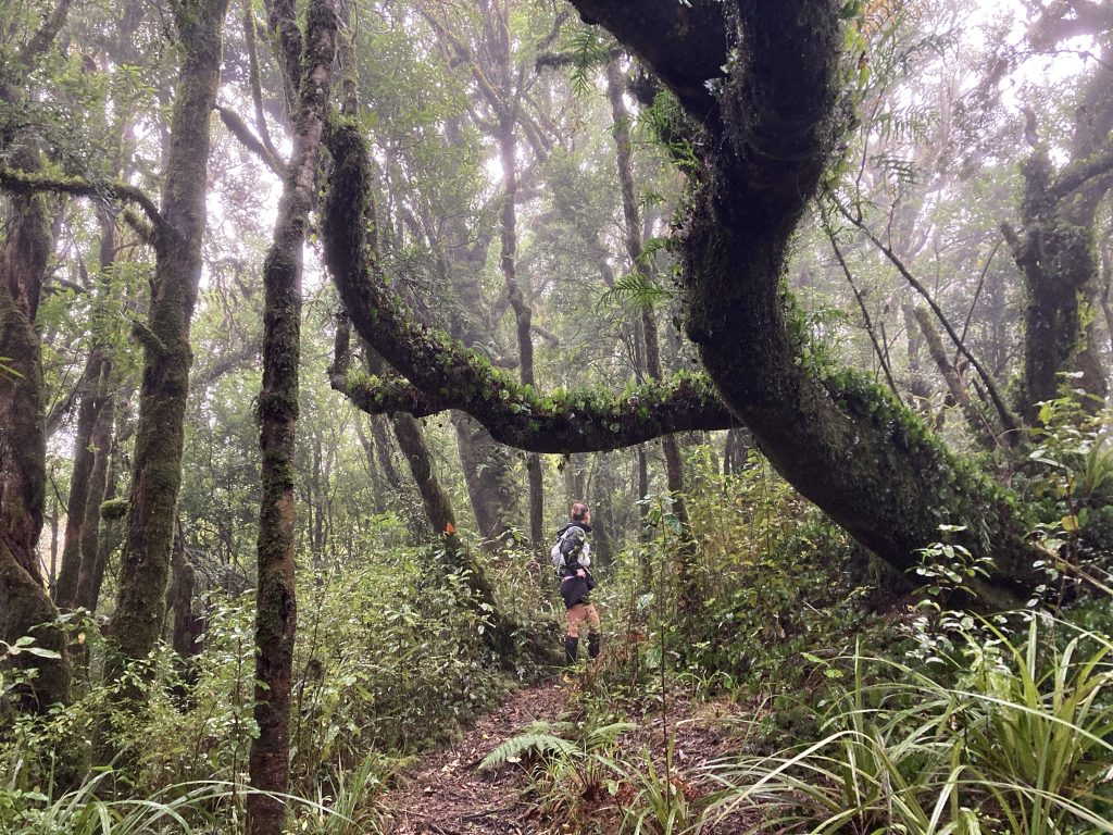
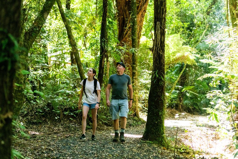
The Save the Sanctuary Rogaine will be an awesome adventure for those who are comfortable to walk/run through NZ bush and who have some map reading experience.
Sadly, this event is not for inexperienced navigators.
If you are new to map reading, then we suggest you get yourself to one of our other events. These are usually on farmland which is an easier place to learn how to read maps.
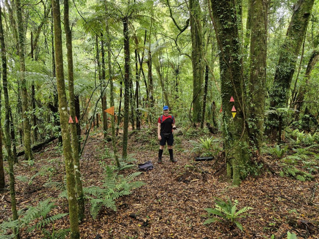
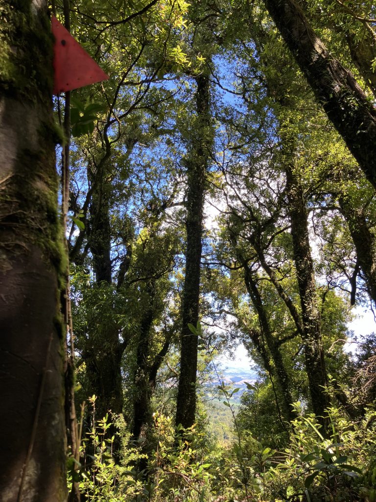
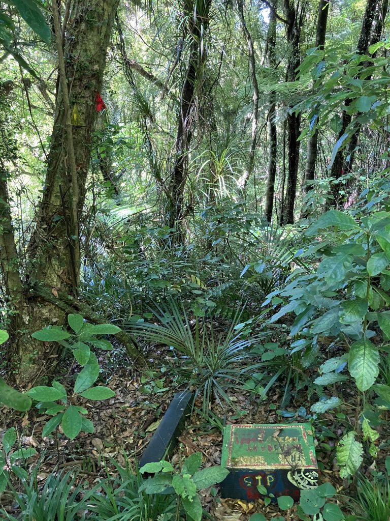
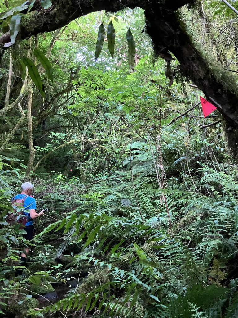
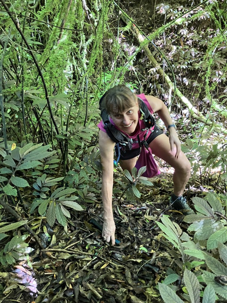
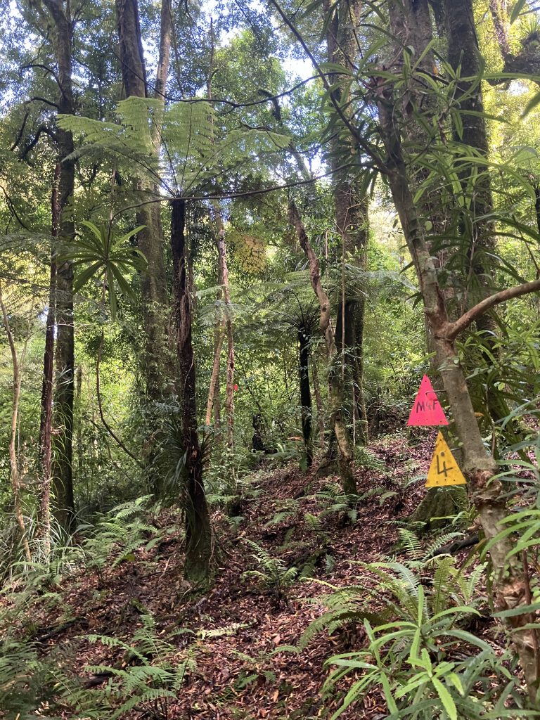
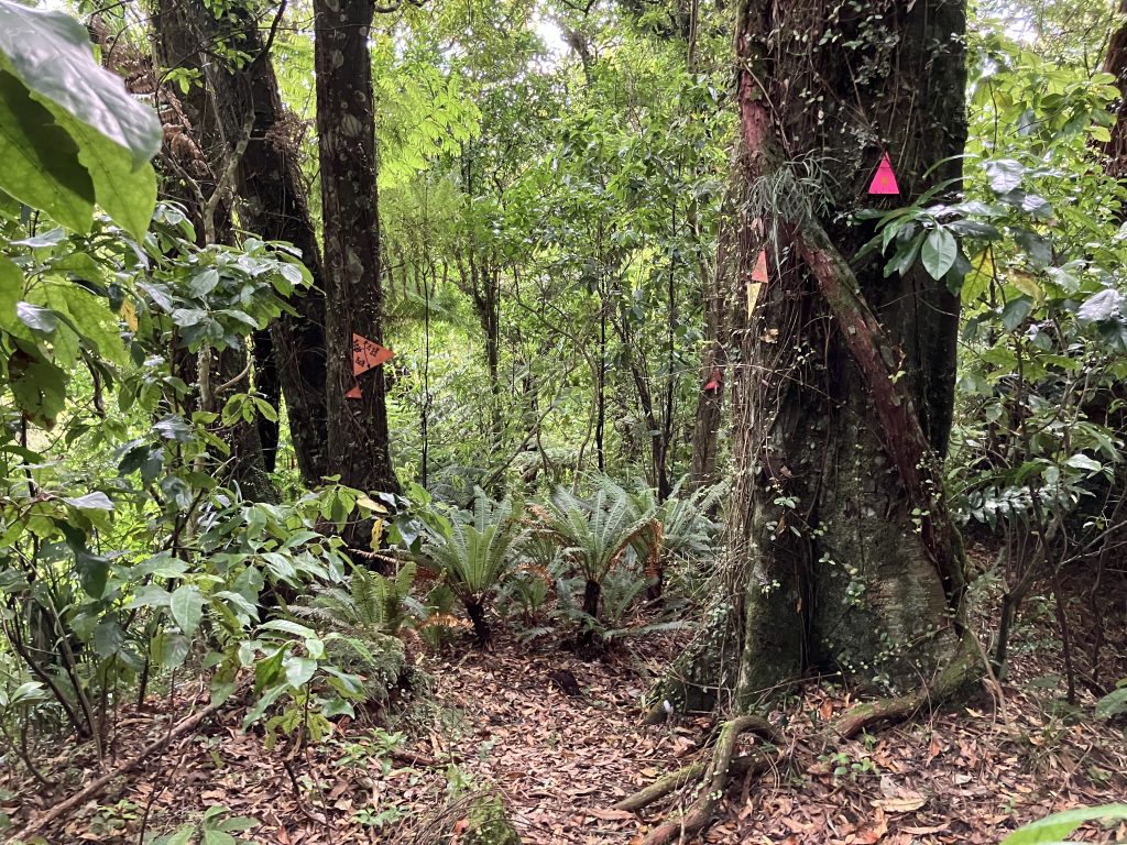
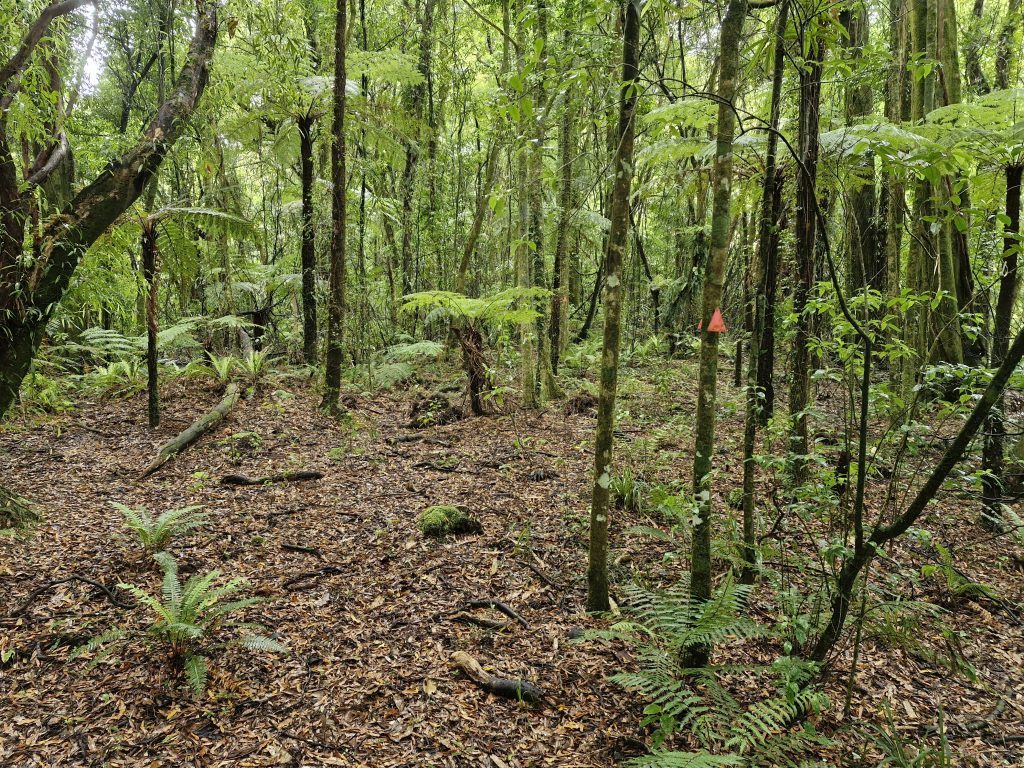
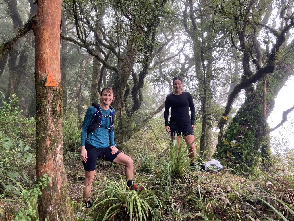
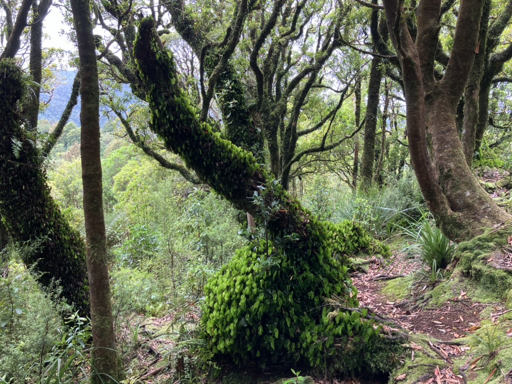
Sanctuary Mountain Maungatautari is crisscrossed with predator monitoring lines. Although there is seldom an obvious track on the ground, the monitoring lines have bright marker triangles and ribbons in the trees that competitors can follow. Orienteering Waikato club members have been out in force in recent months to check and improve the tree markers.
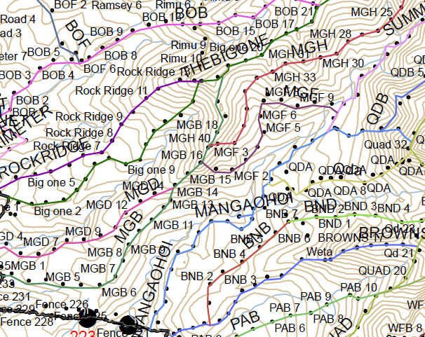
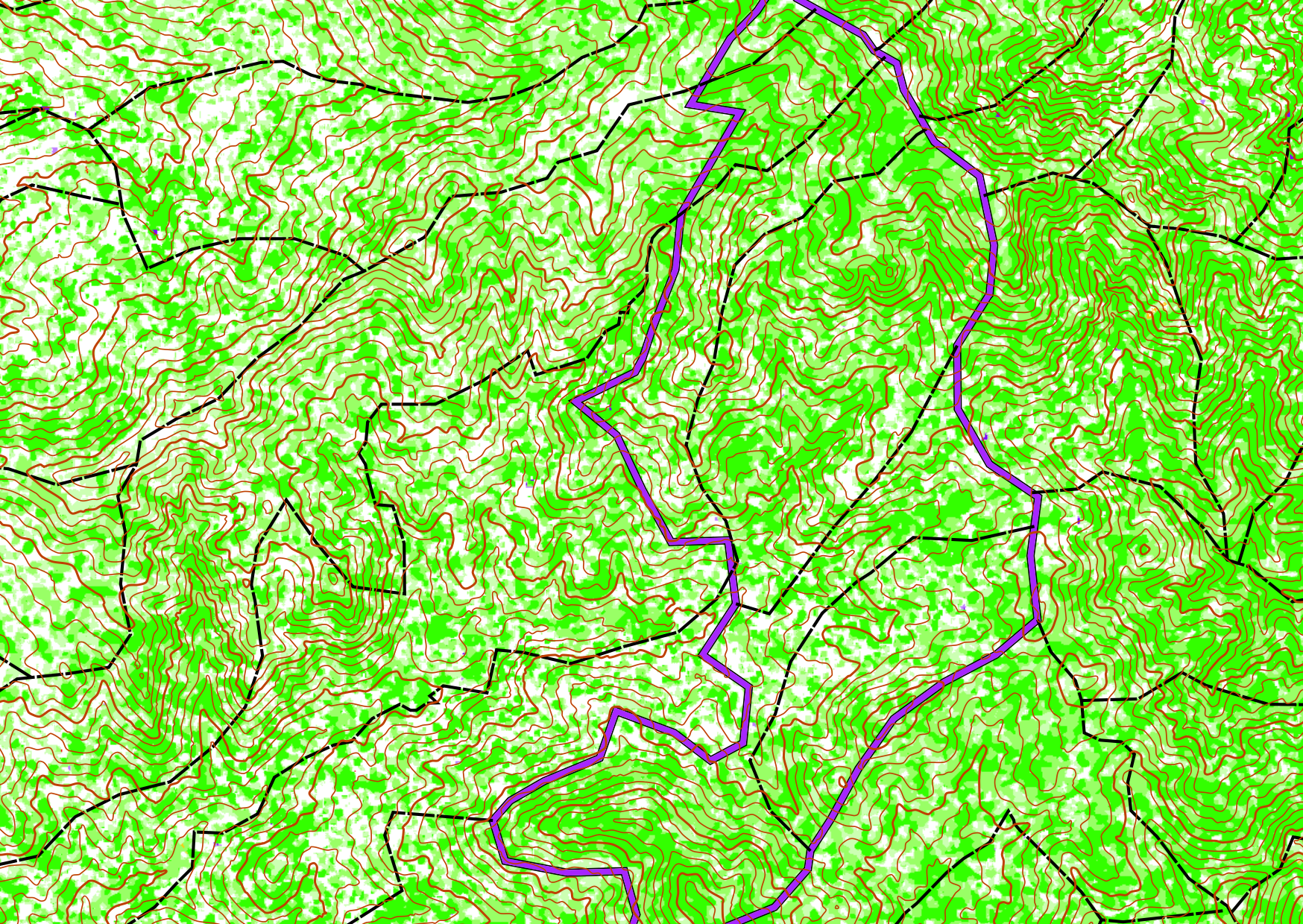
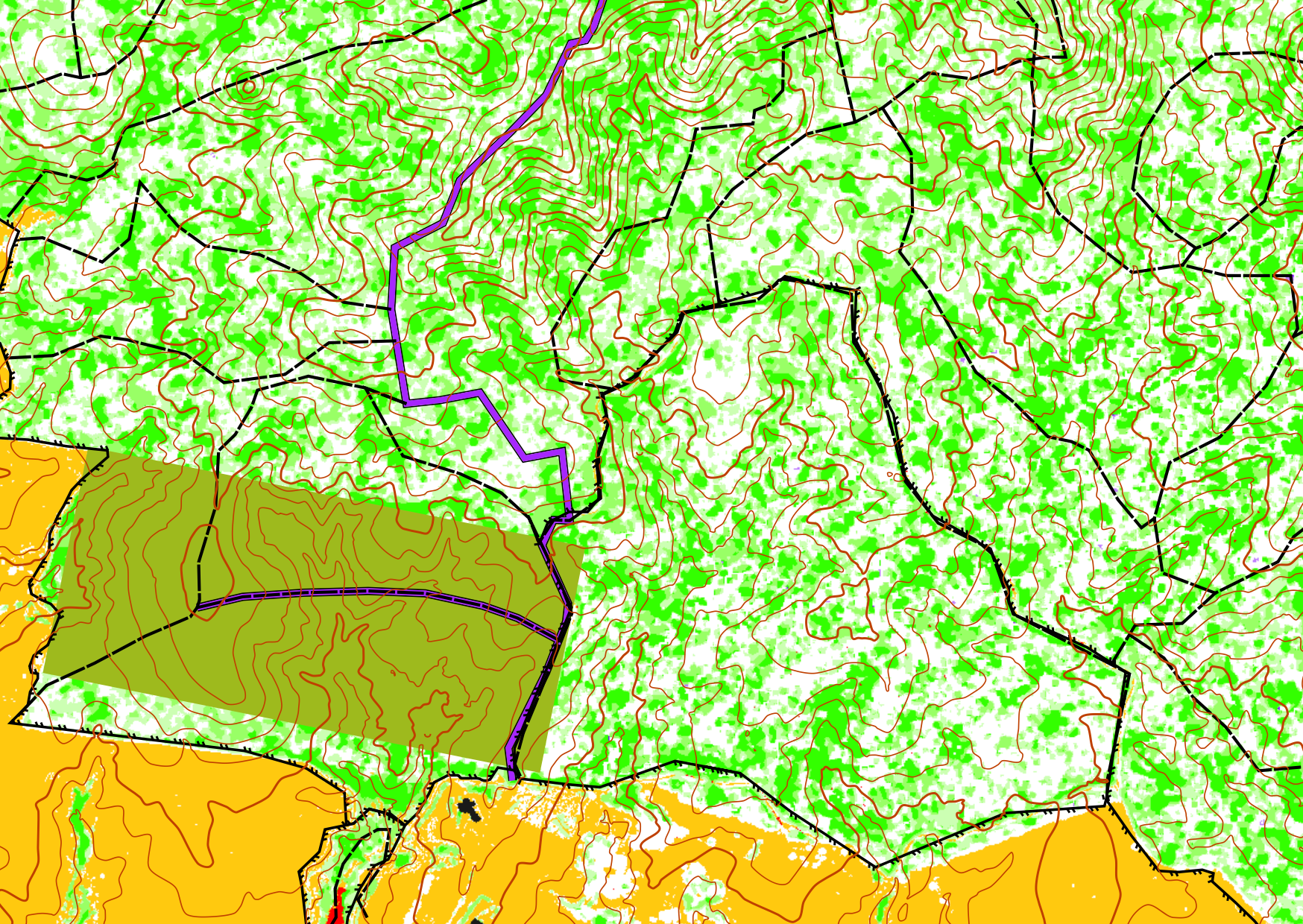
The event map will show accurate 10m contours from recent LiDAR survey data. Competitors will be following the many monitoring lines to move through the bush and using the contours to help them navigate.
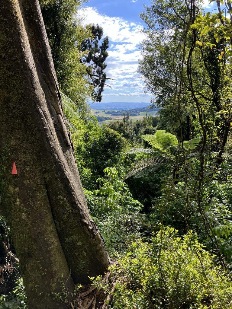
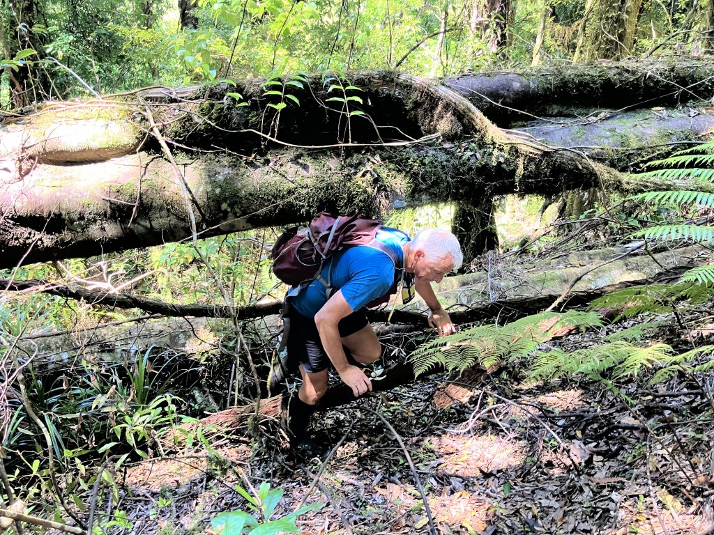
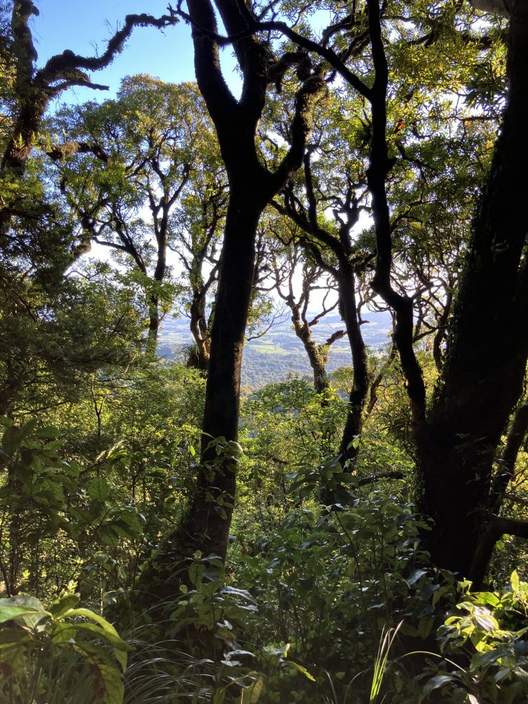
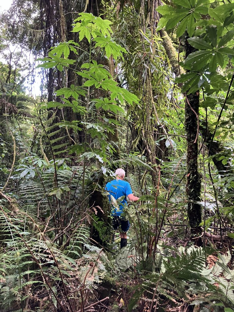
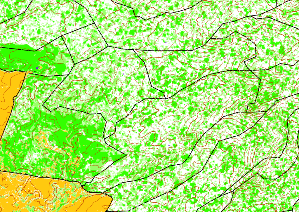
Deer have been eliminated from the mountain for 20 years and without the deer grazing the bush is getting steadily healthier and denser. Despite this there are still plenty of areas where the bush is less dense so that competitors can move freely. It is likely that the race map will use the LiDAR data to show which areas are more open and therefore where competitors can move more easily through the bush between the monitoring lines.
The map will be 1:15,000 or 1:20,000. The course will have between 30-50 controls (depending on your choice of length). The 2-hour course will have some easier controls for the less experienced.
Timetable
| 2-hour | 4-hour | 8-hour | |
| Registration opens | 7:00 am | 7:00 am | 7:00 am |
| Briefing/maps | 12:15 pm | 12:15 pm | 8:00 am |
| Race start | 1:00 pm | 1:00 pm | 9:00 am |
| Race finish | 3:00 pm | 5:00 pm | 5:00 pm |
| Prizegiving | 3:30 pm | 5:30 pm | 5:30 pm |
Event Fees
| 2-hour event | 4-hour event | 8-hour event | |
| Under 12 | Free | Free | Free |
| Junior (12-19 years) | Member $15 (Non-member $20) | Member $25 (Non-member $30) | Member $35 (Non-member $40) |
| Senior (20 years and over) | Member $30 (Non-member $40) | Member $50 (Non-member $60) | Member $70 (Non-member $80) |
| Electronic timing device (SI card) Hire | $3 | $3 | $3 |
Entry Details
Pre-register Only
Pre-entry closes Wednesday 26 February 2025 at midnight.